St. George's Quay was built in 1750, during Lancaster's Golden Age as a port. Lancaster imported sugar, cotton, rum and mahogany and exported furniture and general merchandise to the colonies in North America and West Indies.
 Quay from the east end. |
 Quay from the Millennium Bridge |
 Looking upstream from the east end of the Quay to the Millennium and Greyhound Bridges. |
The Millennium Bridge is in the foreground and is a footpath and cyclepath. The Greyhound Bridge in the background was originally a railway bridge carrying the line to Morecambe. The river is flanked on the right by the trackbed of a railway that used to connect Lancaster Green Ayre and Lancaster Castle stations, now a footpath and cyclepath. |
 The Medieval Bridge
The medieval bridge lay near where the mill stream joins the River Lune. It was first mentioned in 1215 and was demolished progressively after 1802 to allow the passage of masted vessels to and from Brockbank's shipyard which lay just upstream - where Sainsbury's is located today.
The Mill
Stream |
The mill stream still runs under Damside Street and this is the gate from which it re-enters the river. |

|
Walk downstream along the Quay to visit the Custom House.
|
The Custom House was designed by Richard Gillow and completed in 1764 for the Lancaster Port Commission. It now houses Lancaster's excellent Maritime Museum. /a>. |
 |
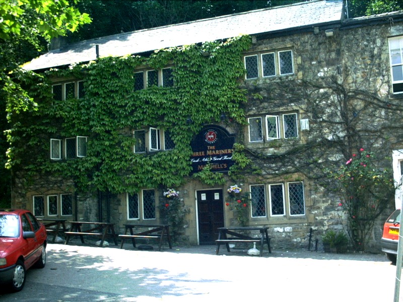
Bridge LaneAs you walk from the Quay along Damside Street towards Cable Street, you will notice a pub on the right hand side called the Three Mariners. At first sight this pub seems to be in an incongruous position, set back from the road by about 50 metres but, until 1938, it lay on Bridge Lane - what would have been a very busy thoroughfare to the medieval bridge until the New (Skerton) Bridge was built in 1788.
|
|
The Three Mariners was formerly known as the Carpenter's Arms. There has been a pub on this site since the 1400s. The cellar is unusual in being upstairs and water from the Castle rock keeps it cool all year. The cobbled street in front of the pub is all that remains of Bridge Lane. |
|
The route of Bridge Lane can be seen on this map of 1890. It led from the west end of modern Church Street to Lune Square, south of the Green Ayre to Lancaster Castle Railway. Click on the map to see a larger version with the position of the Three Mariners marked. |
 |
Continue along Damside Street until you reach Cable Street.
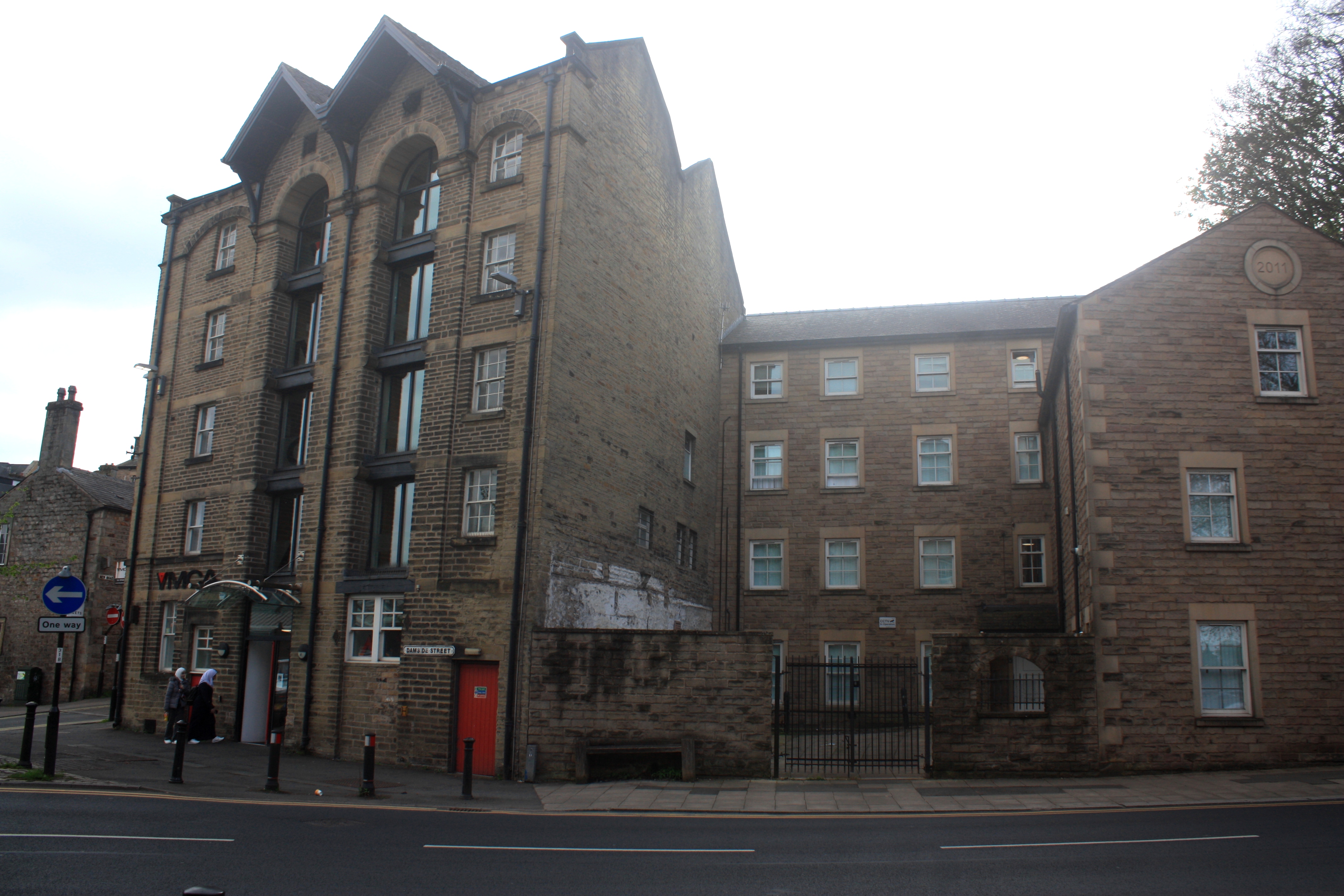
The junction of Damside Street and Cable Street. The warehouses belonged to the farm feed suppliers J Bibby and Son, and Pye and Co., and were home to the YMCA and are now flats. |
 |