Mackreth's Plan
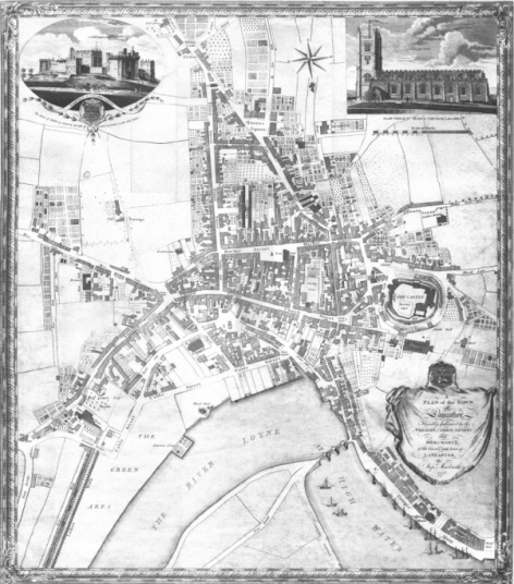
Note that south is at the top of the map!
Mackreth's 1778 Plan of Lancaster was scanned as A4 panels at 300 dpi and the individual panels stitched together using Corel Photo Paint. The entire plan is 57 Mb at this resolution which makes downloading impractical. It is possible, however, to download quarters of the map at 80dpi. Click on the area of the map which you wish to view. Or select one of the quadrants: South-East, South-West, North-East or North-West . Be warned that, even at this resolution, the files are 500K and may take some time to display on a slow connection.


